
Bantry Bay (Northern Beaches, Sydney)
Bruce Ridge (Canberra)
Bungarra Alpine Centre (Snowy Mountains)
Currumbin Border Track (NSW/QLD Border)
Daisy Hill (South Brisbane)
East Kowen (Kowen Pine Forest, Canberra)
Forest Pipeline (Northern Beaches, Sydney)
Fred Caterson Reserve (Castle Hill)
Golden Jubilee Field MTB Park (North Shore, Sydney)
Hassans Walls (Lithgow)
Hinze Dam (Gold Coast)
Jackson (Jackson)
Jindabyne (Snowy Mountains)
Kiwarrak State Forest (Tarree)
Majura Pines (Majura, Canberra)
Manly Dam (Northern Beaches, Sydney)
Mt Joyce (Gold Coast Hinterland)
Mt Kosciuszko (Snowy Mountains)
Nerang State Forest (Gold Coast)
Newnes (Lithgow)
Old Man's Valley (Hornsby, Sydney)
Ourimbah (Central Coast)
Oxford Falls (Northern Beaches, Sydney)
Pilot Wilderness (Snowy Mountains)
Red Hill (Northern Beaches, Sydney)
Rotorua Redwoods (New Zealand)
Silver Mountain (Kellogg)
Singleton (Hunter Valley)
Sparrow Hill (Kowen Pine Forest, Canberra)
St Ives and Belrose (North Shore, Sydney)
Stromlo Forest Park (Canberra)
Terrey Hills (Northern Beaches, Sydney)
The Oaks (Blue Mountains)
Thredbo Resort (Snowy Mountains)
Thredbo Valley Trail (Snowy Mountains)
Whistler Bike Park (Whistler)
Wingello (Southern Highlands)
Wylde MTB Trail (Cecil Park - Western Sydney)
Cooyong-Aumuna Trail (960m)
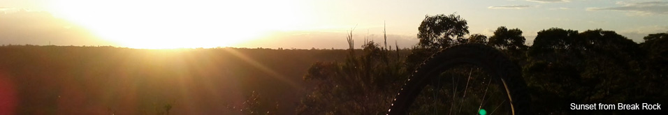
Terrey HillsLast Update: 25/10/2013
Some trail names are made up, if there is a different name please let us know.
Difficulty - Easy - Intermediate
Slope - Flat - Undulating
Space - Open
Surface - Dirt - Loose rocks on dirt - Loose rocks on rock - Rock - Sand
Trail type - Firetrail
Notes:
This trail is fairly commonly referred to as the Nevefail Gully Trail however signage on the trail has clearly listed this section as the Cooyong-Aumuna Trail and the Nevefail Gully Trail as running from Cooyong Rd to Coonawarra Rd. Read more about how we have broken up the trails.
There western end of the Cooyong-Aumuna Trail has a short steep descent from the Nevefail Gully Trail (check your line it can be a little rough) but don't get your hopes up too much as the descent is short lived with a moderate rocky climb not far ahead.
From the big rock slab at the top of the climb the trail is fairly flat until a small pedal up to the gate at Aumuna Rd (corner of Coolowie Rd near Kimna School).
(It's only a short climb from the trailhead up Aumuna Rd to the Larool Trail)
The western end of the trail has a lot of small loose rocks and there's a bit of rock slab to ride upon, while the eastern end is fairly smooth and friendly.
As mentioned above this trail is commonly referred to as the Nevefail Gully Trail and appears that way on many maps. The trail essentially runs from Cooyong Rd to Aumuna Rd and that is how most people will ride this trail.