
Bantry Bay (Northern Beaches, Sydney)
Bruce Ridge (Canberra)
Bungarra Alpine Centre (Snowy Mountains)
Currumbin Border Track (NSW/QLD Border)
Daisy Hill (South Brisbane)
East Kowen (Kowen Pine Forest, Canberra)
Forest Pipeline (Northern Beaches, Sydney)
Fred Caterson Reserve (Castle Hill)
Golden Jubilee Field MTB Park (North Shore, Sydney)
Hassans Walls (Lithgow)
Hinze Dam (Gold Coast)
Jackson (Jackson)
Jindabyne (Snowy Mountains)
Kiwarrak State Forest (Tarree)
Majura Pines (Majura, Canberra)
Manly Dam (Northern Beaches, Sydney)
Mt Joyce (Gold Coast Hinterland)
Mt Kosciuszko (Snowy Mountains)
Nerang State Forest (Gold Coast)
Newnes (Lithgow)
Old Man's Valley (Hornsby, Sydney)
Ourimbah (Central Coast)
Oxford Falls (Northern Beaches, Sydney)
Pilot Wilderness (Snowy Mountains)
Red Hill (Northern Beaches, Sydney)
Rotorua Redwoods (New Zealand)
Silver Mountain (Kellogg)
Singleton (Hunter Valley)
Sparrow Hill (Kowen Pine Forest, Canberra)
St Ives and Belrose (North Shore, Sydney)
Stromlo Forest Park (Canberra)
Terrey Hills (Northern Beaches, Sydney)
The Oaks (Blue Mountains)
Thredbo Resort (Snowy Mountains)
Thredbo Valley Trail (Snowy Mountains)
Whistler Bike Park (Whistler)
Wingello (Southern Highlands)
Wylde MTB Trail (Cecil Park - Western Sydney)
Centre Track (3.30km)
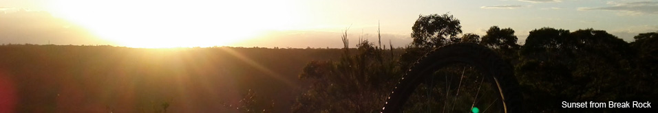
Terrey HillsLast Update: 24/3/2013
Some trail names are made up, if there is a different name please let us know.
Difficulty - Easy - Intermediate - Advanced
Slope - Flat - Undulating - Steep - Near vertical
Space - Open - Extreme Caution
Surface - Dirt - Gravel - Loose rocks on dirt - Loose rocks on rock - Rock - Rutted - Sand
Trail type - Firetrail
Notes:
Centre Track is a 3.3km fire trail that runs from the National Parks booth at the top of Liberator General San Martin Drive at the intersection of McCarrs Creek Rd and reconnects with Liberator General San Martin Drive near West Head Rd. The southern (top) trail head is just on the other side of the National Parks Booth, the northern (bottom) trail head is approximately 300m along Liberator General San Martin Drive from the intersection with West Head Rd. Why Coal and Candle Drive is called Liberator General San Martin Drive?
Centre Track is a very popular trail with XC riders who link the trail with the Duckholes Track, Chiltern Track and even the Perimeter Trail and Long Track which then opens up a massive XC ride from Oxford Falls if you link in the St Ives and Belrose trails.
Centre Track can be ridden both ways however it seems to be quite common to use Centre Track as the climb up and Duckholes as the descent in a large McCarrs Creek Rd loop.
1km road ride - From the top of Duckholes to the top of Centre (slight descent)
2km road ride - From the bottom of either Chiltern or Duckholes to the bottom of Centre (climbing most of the way)
This video is shot from the bottom up.
The northern end has a really steep climb that some mountain goats may have the ability to climb but it was well and truly beyond me. Coming back the other way you will want to be VERY confident on steep rough climbs with drops before attempting. Take it easy!
The climb is tough, it took around 2.5 minutes to hike before I was able to get on the bike and ride. From there the track continues to climb for another 1.5km until a large rock plateau at the top of the hill. This is a great place for a break and a wander around.
From the plateau to the top the trail undulates with some often taxing, long but doable climbs and fun rolling descents.
Generally the trail surface is in pretty good shape, while there are some sandy sections they aren't too deep nor very long. With the exception of the hill at the northern end there are very few ruts and the loose rocks are quite small.
With the exception of the steep north end this trail is relatively easy, a step up from the Perimeter Trail and Long Track but not as difficult as Duckholes.
There is limited parking at the south (top) end of the trail just outside the National Park booth or alternatively at the top of McCarrs Creek Rd. There is no parking at the north (bottom) end with the exception of a few places outside the National Parks Booth 2km from the trail head.